Survival Group
Public Discussion Group
Public Discussion Group
Active 11 hours ago
Freesteading group focused on the discussion of survival.
Public Discussion Group
Organizer:
- Organized by
-
-
Backpacking to Refine Survival Skills
-
Backpacking to Refine Survival Skills
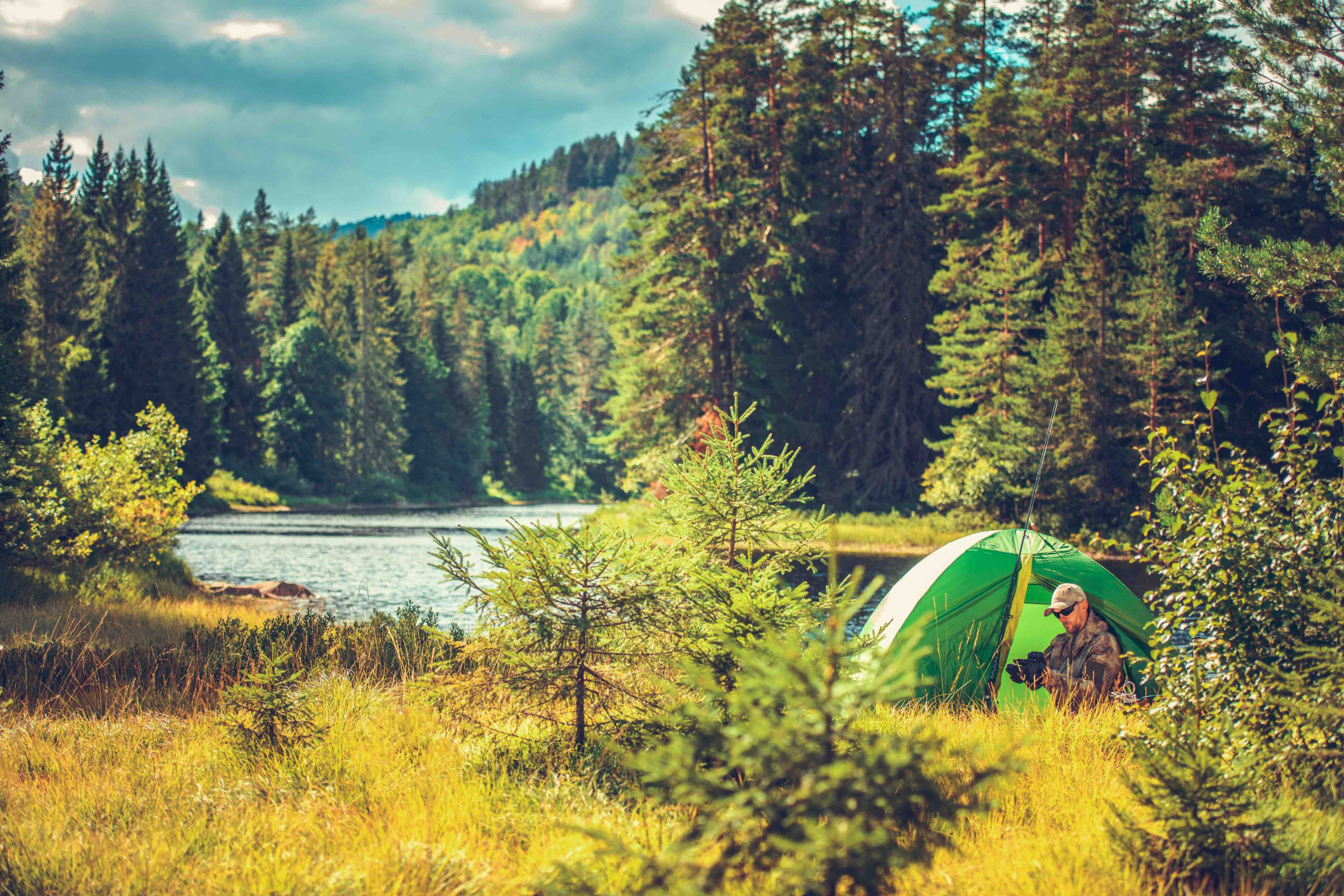
Posted by Barred-Rock-or-Brahma on September 5, 2022 at 8:39 pmAre you into backpacking? Would you like to be? This is my favorite way to keep in shape and sharpen and refine survival skills.
Lets share tips, tricks, stories, skills to focus on, gear recommendations, must-see locations, and whatever else comes to mind!
Barred-Rock-or-Brahma replied 11 months, 3 weeks ago 8 Members · 19 Replies -
19 Replies
-

I’m no expert, but I certainly enjoy hitting the trail whenever I can get away with it. It’s how I get my head right when I need a break, and it is the perfect opportunity to teach my kids something that builds their confidence in a way that few other things can match.
I like to get away from civilization and just exist in what I consider to be the real world for a few days every now and then.
I enjoy brushing up on my land navigation, fire starting, water collecting and purification, and hasty shelter building techniques. Proper hydration, nutrition, and dressing properly for the environment are also perishable skills. Don’t believe me? Ask a forest ranger or a paramedic with a popular trail in their area!
I plan to hike most of the Appalachian Trail (AT) southbound (SOBO) during the summer of ’24 to celebrate my retirement and my son’s high school graduation. Why only most? Because I refuse to step foot in states that don’t have conceal-carry permit (CCP) reciprocity with NC. If I understand the AT lingo correctly, I will be “yellow blazing” through the states that interpret “shall not be infringed” as a request and not a directive.
-
So glad that this one was started. This is what we do for our family time. We hike all over western and central Pa. Have any recommendations on a personal locator beacon? One that you don’t have to pay for a subscription. I have two teenage boys and it terrifies me when they just wonder off. I would recommend onxmaps. We rarely get service.
-
That is some beautiful country up there!
Ok, beacons. I have a couple at work, but I don’t own one personally for the same reason as you, the subscription cost would make my hobby much more expensive. Rather than pay for a fancy tech doodad, I plan around it. I’m happy to share a few tricks that I use to assist a SAR Team if I ever need one.
1. Route. Plan a route. If Special Operations Forces don’t leave the wire without planning, building, briefing, and sharing their route, you shouldn’t either. Create a .kmz or .gpx or similar folder for each trip, with checkpoints, and share it with a friend or family member. Also load it into a GPS device to take with you for emergencies. When before I step off, my wife gets a digital copy of my route, and knows my expected mileage per day, where I expect to camp every night, and how long to wait between texts before contacting EMS. Basically, I give her a GOTWA.
2. Comms. A lack of cell towers won’t stop a Ham radio. I’d recommend getting a Technician Licence, but no one is going to come after you for making an “illegal” emergency call. That said, if you don’t know enough to get the licence, chances are that you don’t know enough to use the transceiver anyway. A much easier option for herding cats is a GMRS tranceiver. The license used to be $70 for 10 years for the whole family, but the price was supposed to have dropped to $35 a while ago. GMRS tranceivers are significantly more powerful that a Wal Mart walkie (FRS), and are compatible with a variety of manufactured and fieldcraft antennas. Everyone in your party should have one with spare batteries. Also, those ridiculously loud survival whistles won’t run out of batteries until you do. PACE plans are your friend.
Signal: Think of this is visual comms. Carry some things with you to make the SAR team’s job as easy as possible. I carry a small roll of bright orange marking tape to mark my trail if I go off trail. I also pack a signal mirror and a IR/Visible strobe. My wife knows to inform EMS of the GMRS channel that I will monitor in case of emergency, when I’ll be monitoring it (to conserve battery), and that I have an IR strobe.
This might seem like overkill, but backpacking with a survival mindset provides a unique opportunity to practice and refine skills and techniques that can save your life.
Remember, Proper Prior Planning Prevents Piss-Poor Performance.
-
I forgot to mention how to use marking tape. Always write your name or initials, the time and date, and your direction of travel.
-
-
-
Thank you.
I have never used the .kmz or .gpx, but I do the same thing with onxmaps. I can transfer them to a GPS and share. I do pay for mine. It’s only $15 a month unless I go out of state and then have to buy that state. I use mine for hunting and trapping. I don’t know if the .kmz and .gpx show property lines. I’m surrounded by game lands and people that alongside the game lands don’t really like people on their property.
I have looked into the Ham radio and thought about buying one. I know there are licenses and things that go along with that. It was between that and just the personal locator beacon. I just recently heard about the beacon from watching missing411 on YouTube. I thought I’d see if anyone had one with a free subscription. I put way too much money into hunting already.
The tape. I actually seen that along a trail for the first time this year. I don’t know why I’ve never thought about carrying that before outside of hunting season. It makes complete sense.
My brother always mentions to me about a strobe light. I didn’t actually see why until I researched it. I didn’t realize that they can be seen for miles.
-
Those file types contain no imagery themselves, they are just overlays built on Google Earth, Garmin’s website, or mapmyfitness.com applied to online or downloaded imagery. The AllTrails app, Avenza, and I’m sure onX can do the same thing. Use whatever you like best, so long as you share it with an emergency contact that isn’t going with you.
-
-

I have BOB camped for a long time. My favorite BOB camping is in 12 or more i ches of snow.
Learning how to build warm shelters in the snow is fun.
-
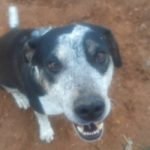
Learning about winter survival shelters is tough. The last time I asked for help building a big igloo, the feds shot my dog.
-
-

As a boyscout I have spent countless hours\weeks\months camping and backpacking. Winter as well as the rest of the year. Now as a 53 year old keyboard ninja (as in spent the last 30 years working sitting at a desk)… I shudder to think how I would fair trying to attempt any of that anymore. I try very hard to just keep up with walking for exercise.
-

Thank you for the great info. I am very sorry about your dog. Thank you for your service.
-
Thanks, and the pups are fine (bad joke).
-
That is GREAT! The dog in your pic looks like mine. So happy he/they are good.
-
-
-

Can you please help me calculate the mileage per day average on mostly flat and low hill terrain? I have 140 miles trek. I have heard too many different opinions to try to plan that so far.
-
-
Hah, even in the day I couldn’t do 20 miles in a day, especially without issue! If I were running for my life, I could have probably made it then collapsed 😁
-
-
Late reply, but I’d say that an average adult in good physical condition, with no load, walking a a relaxed pace moves 2-3 miles an hour on easy terrain. Extrapolated over 140 miles, and assuming 6-8 hours of walking per day, you’re looking at 6 (3mph x 8hrs) to 12 (2mph x 6hrs) days.
Unfortunately, there are way too many variables for me to give a more precise answer. Not the least of which is physical condition. Not everyone can hike all day and then get up and do it again for multiple days. It’s also hard to carry more than 5 days off food at a time, and extremely difficult to carry that much water. Situation matters too. Hiking a trail for recreation is much different than escaping a city and headed to a cabin in the woods.
I’d recommend finding a local (or semi-local) trail, heading out on a Friday after work, camping out, and then recording how much ground you cover over the weekend. Alternatively, map out a nice 6-mile stretch and hike it on a Saturday morning. I like to do that at least once a month when I can’t get away for a longer adventure.
-
Log in to reply.